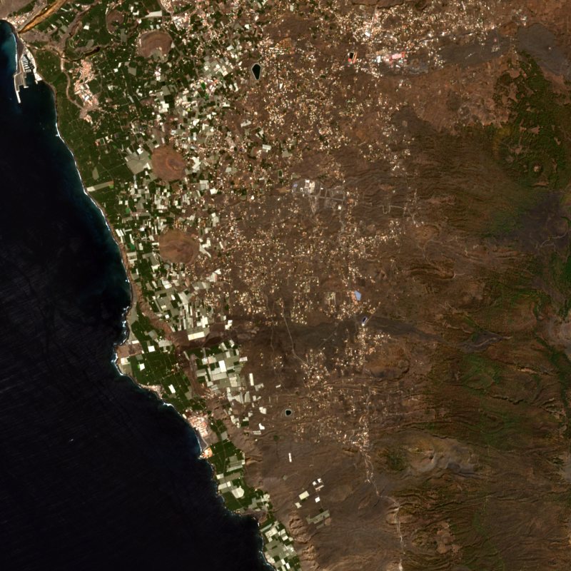
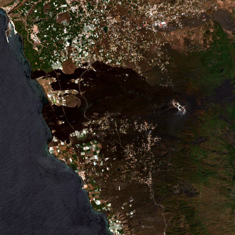
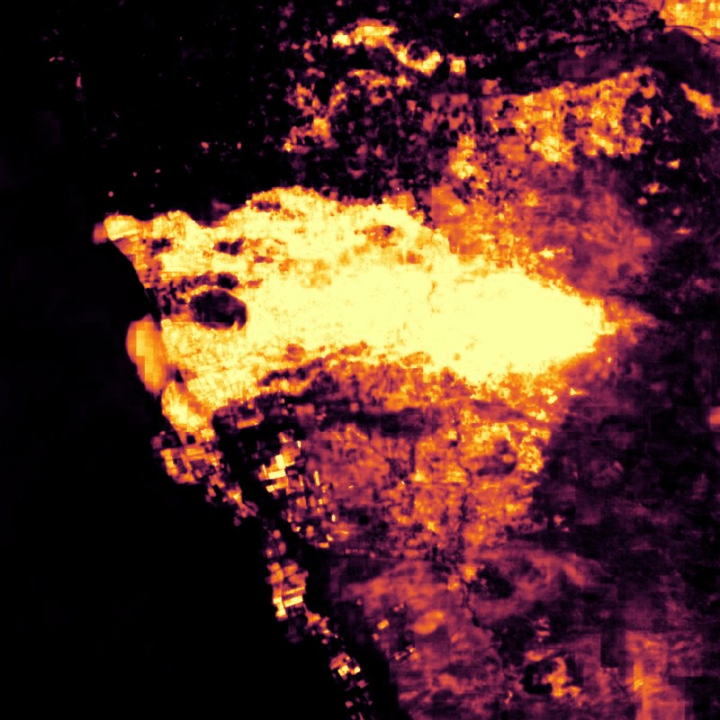
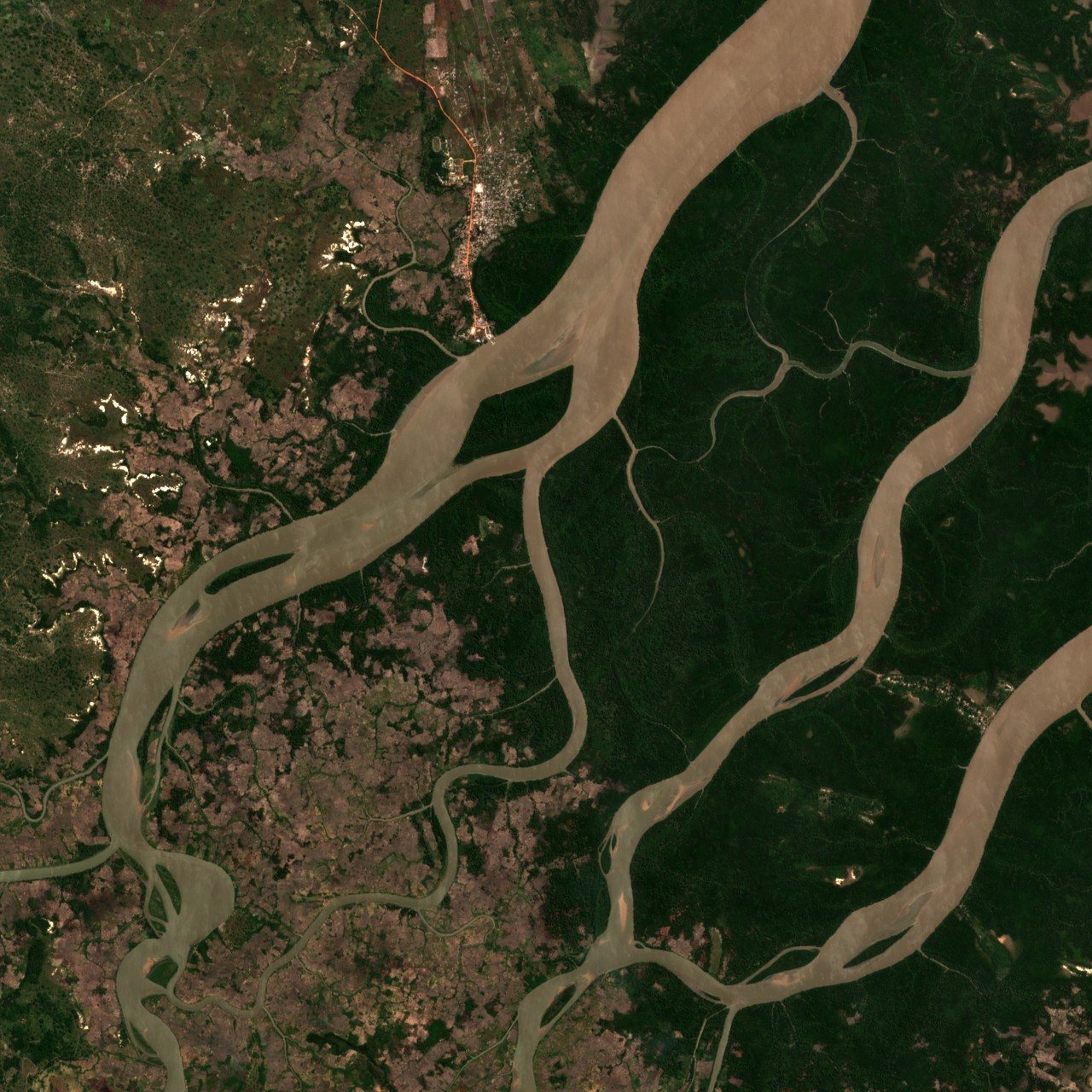
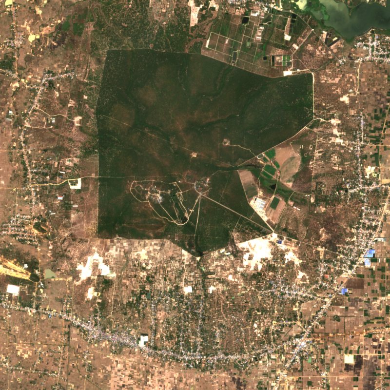
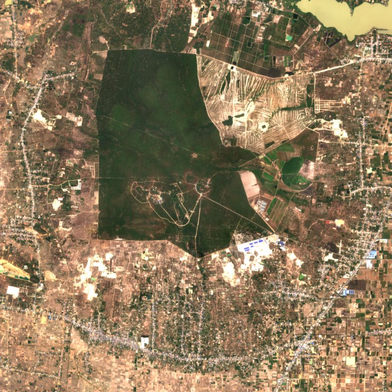
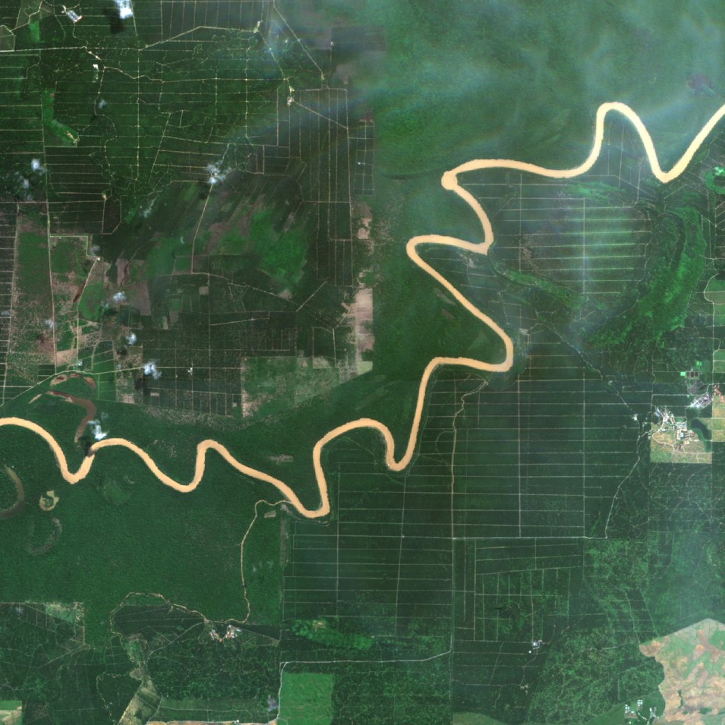
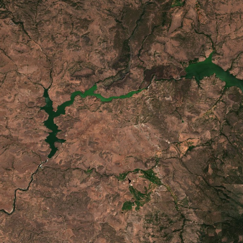
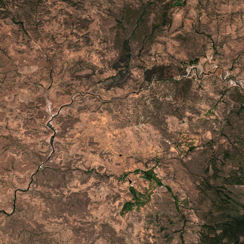
1 · Madre de Dios, PerúA satellite photo of the Peruvian Amazon, 18 km across. You can see forests, rivers, and the scars of gold mining.
2 · One yearSatellites pass over it all year: color, infrared, and radar that sees through clouds. Month by month, that adds up to a stack of rich data about our planet.
3 · An embeddingOlmoEarth condenses that whole year as an embedding for every 10-meter pixel in satellite imagery, about 1.3 trillion for the entire planet. Each one is a list of numbers that summarizes how its pixel looks and changes.
Under the encoder, this pixel's embedding: a row of its real numbers, such as minus 0.12 and plus 0.12, fading into the rest of its 128, then the same numbers as a barcode, a stripe for each, violet below zero and red-orange above, brighter the further from zero.
4 · Alike, and notThree examples: a wheat field and a maize field in Kansas, and Lower Manhattan. To the eye, the two fields look alike, and Manhattan looks nothing like them.
Three satellite photos: a green wheat field, a green maize field, and the dense grey blocks of Lower Manhattan.
4 · Their embeddingsEach photo's embedding as a barcode, a stripe for each number. One on its own doesn't say much. Comparing them highlights the landscape they describe.
With each photo, its embedding as a barcode of 128 stripes, each colored by its number: violet below zero, red-orange above. A small box on each photo marks the area its embedding sums up.
4 · What the embeddings seeLine one embedding up with another, stripe by stripe, and amber marks where they differ. Wheat's and maize's are close, but not the same. Wheat's and Manhattan's are significantly different.
Two rows, each two barcodes merged: the top half of every stripe is wheat's number, the bottom half the other place's. Wheat and maize: many stripes run on nearly whole and many break, fewer than with Manhattan, with low amber under them where they differ; 30% different. Wheat and Manhattan: most stripes break, with taller amber almost everywhere; 72% different.
4 · Alike, anywhereThe forest in our Peru photo and one in the Congo, 10,000 km apart, show less difference than two Kansas fields 3 km apart. Places that are alike get embeddings that are close, wherever they are.
Two rows of merged barcodes. Wheat's and maize's, from fields 3 km apart: some broken stripes and some amber; 30% different. The forest around our Peru pixel (2024) and a forest in the Congo (2025), 10,000 km apart: their stripes match more closely, with less amber; 20% different.
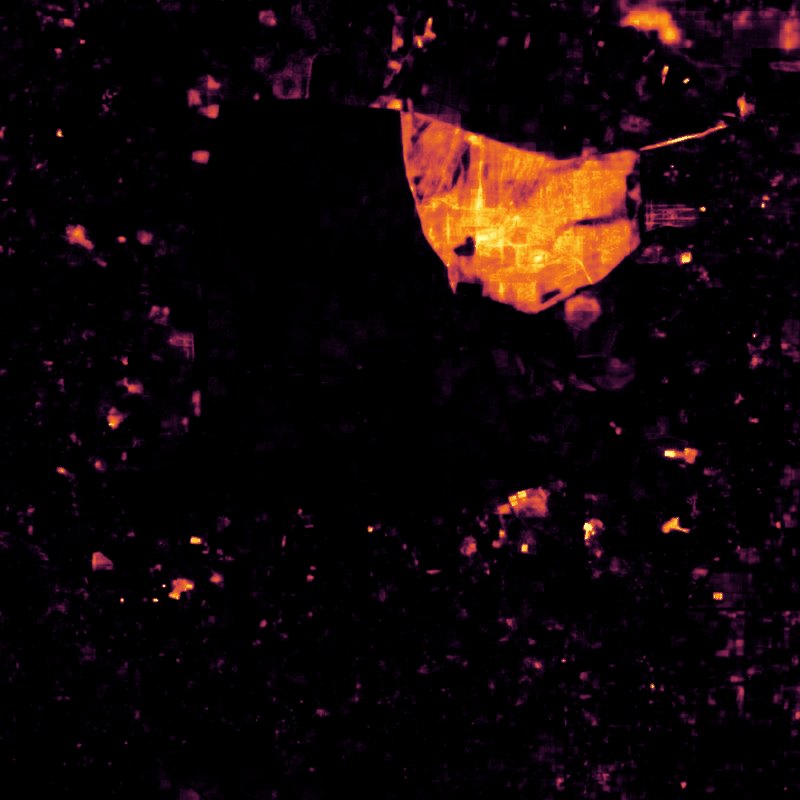
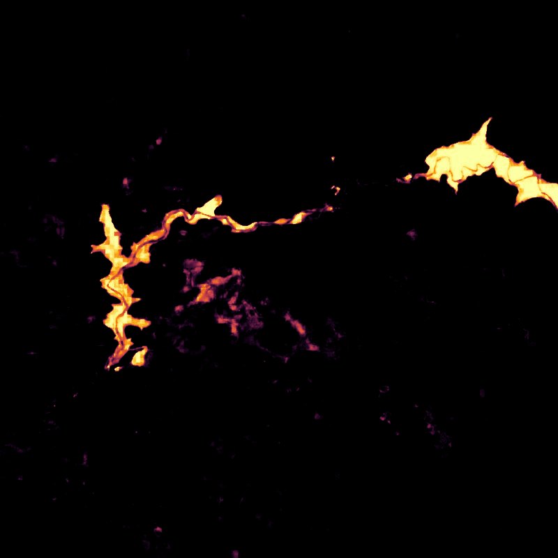
5 · Finding similar ecosystemsBack to the forest photo. The pixels whose embeddings are close to this one's light up, helping you immediately identify similar landscapes.
On the photo, the pixels whose embeddings are closest to this one light up: the forest, not the river or the mining.
6 · Every pixelOlmoEarth has precomputed embeddings like this for the entire planet, for multiple years. We've released the model, the dataset, and tools to explore this new capability.